
The Benefits of a Point Cloud Survey on Rescue Projects
Colby McMillan
In the complex and high-stakes context of construction rescue projects, clarity and accuracy of site information are critical from the moment responsibility changes hands. In this article, Colby McMillan, Surveyor at LA Surveys, explores how advanced point cloud surveying — a laser-based method that captures precise three-dimensional spatial data — delivers a comprehensive, measurable digital record of existing conditions and supports forensic review, risk mitigation, design coordination and defensible handover documentation in rescue scenarios where incomplete records and unknown site conditions often prevail.
What is the true cost of taking over a failing construction project without knowing exactly what you’ve inherited?
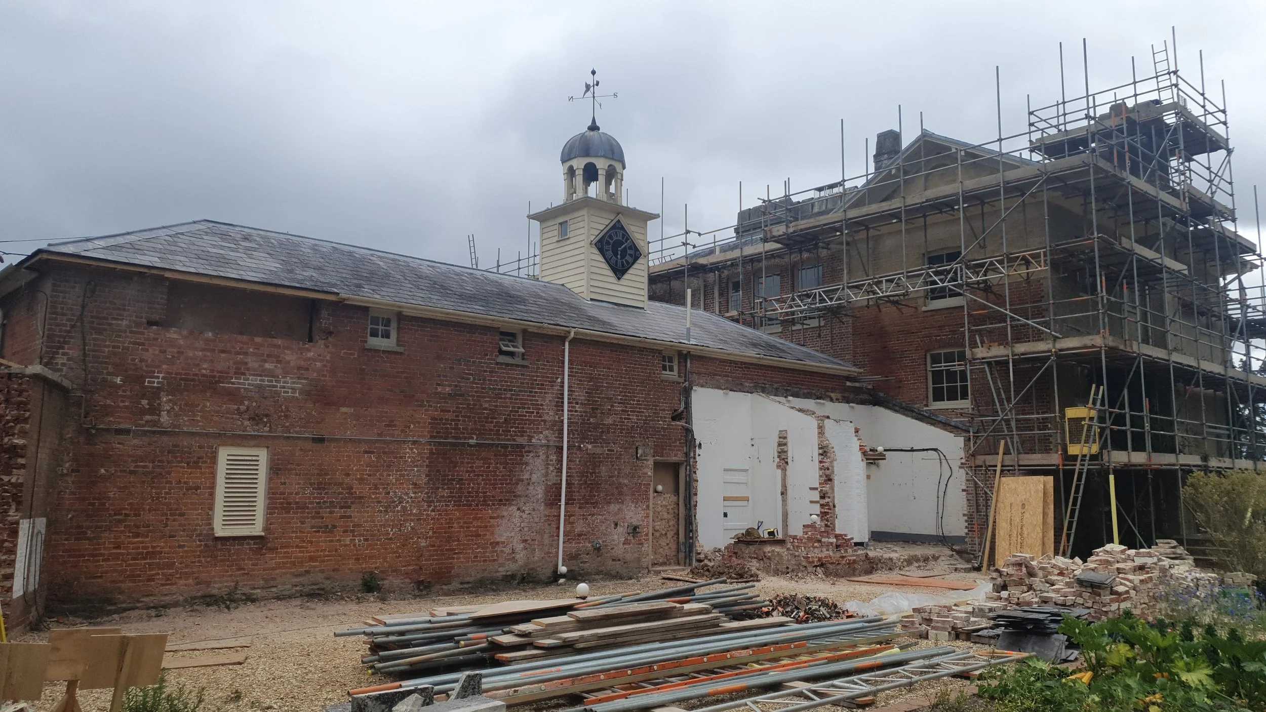
Construction rescue projects are some of the most complex and high-risk scenarios in the built environment. Whether caused by poor workmanship, contractor bankruptcy, significant delays, or severe budget overruns, projects can quickly derail and require a new team to step in and take control.
In these crisis management situations, clarity is everything.
When a second contractor or specialist consultant takes over from a terminated or failed party, they inherit a partially completed site. This is often accompanied with limited documentation, unknown defects, and potential compliance issues. Establishing an accurate and defensible record of site conditions at the point of handover is critical.
This is where point cloud surveys provide exceptional value and practicality.
No matter what stage a project is at, a point cloud survey will always add value
What Is a Point Cloud Survey?
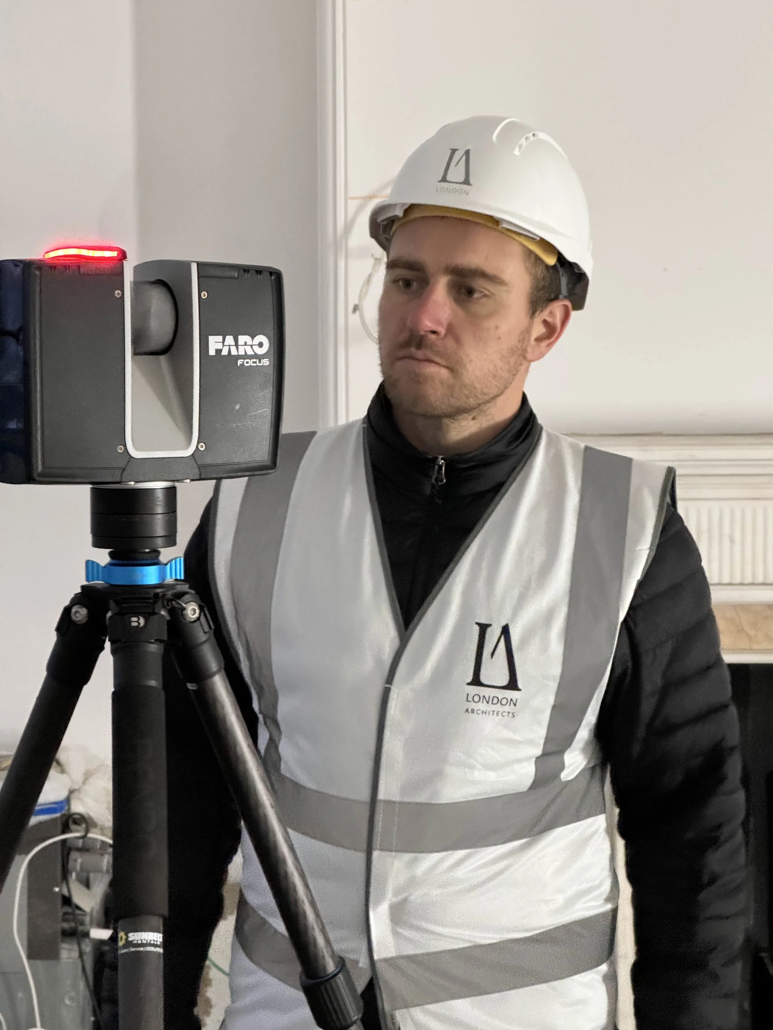
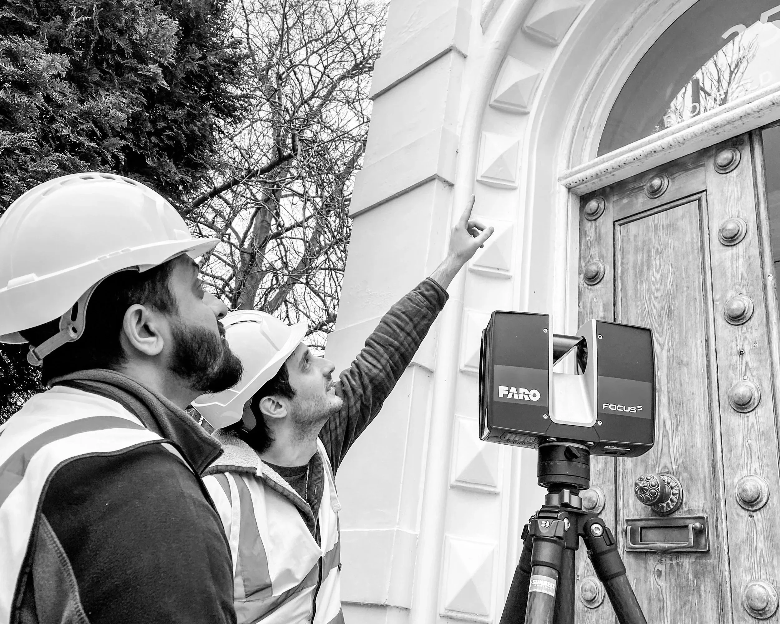
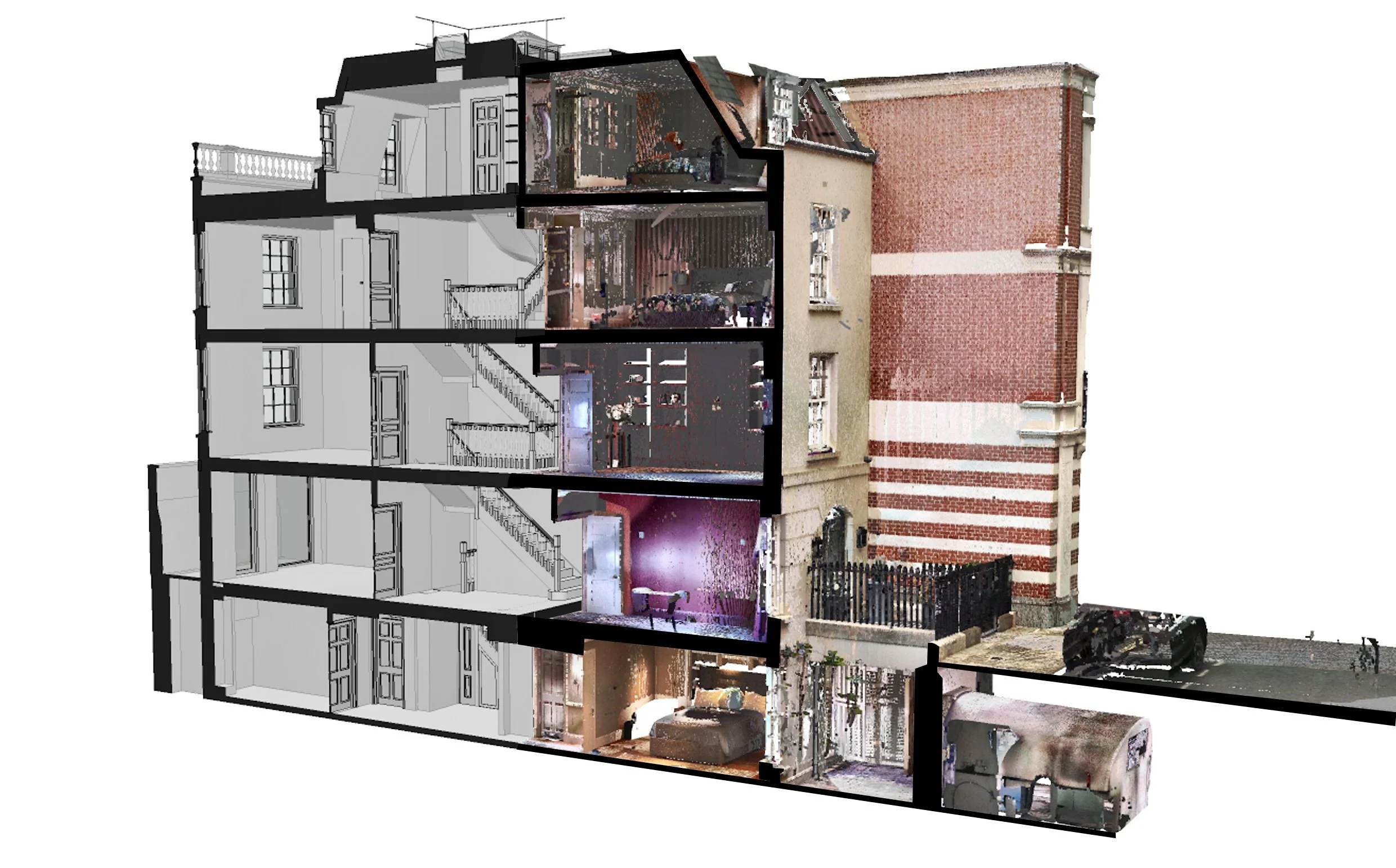
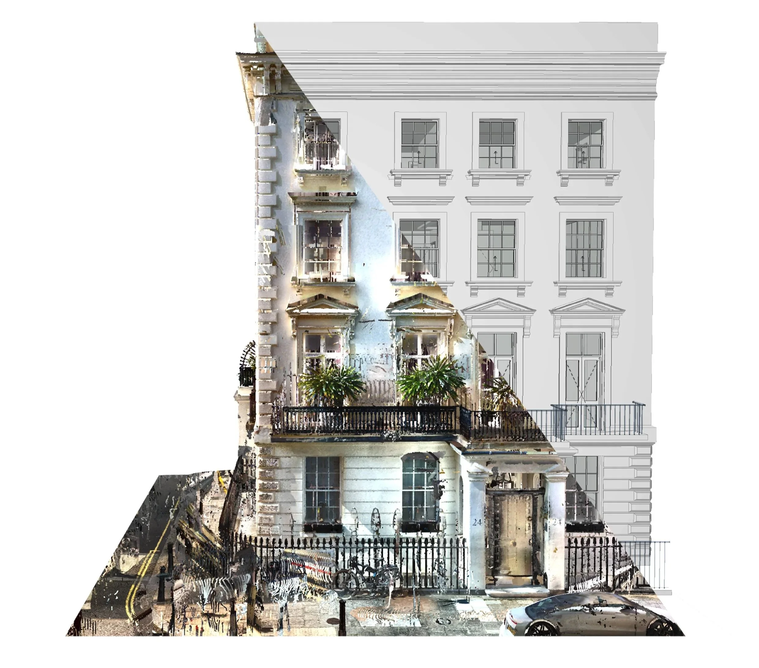
A point cloud survey uses advanced 3D laser scanning technology to capture millions of precise spatial data points across a site. These points create a highly accurate digital representation of existing conditions.
The result is a measurable 3D model that reflects exact geometry, alignments, elevations, and installed components. This can all be captured quickly, efficiently and without physical contact.
Unlike traditional survey methods, laser scanning captures comprehensive data in a single visit, allowing teams to revisit the site virtually at any point after fieldwork is complete.
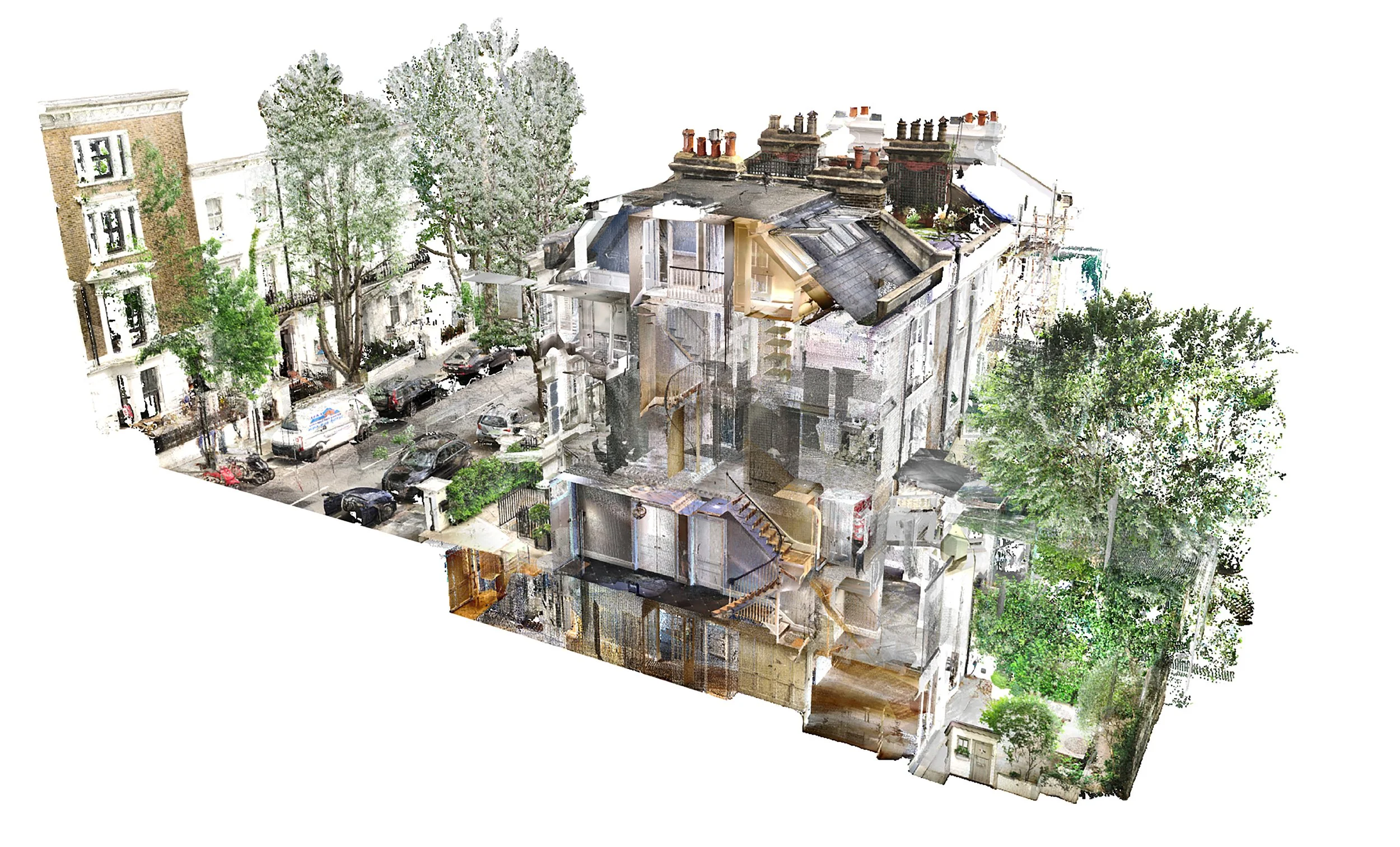
A point cloud survey provides a wealth of accessible data
Why Are Rescue Projects So Complex?
Rescue projects involve taking over from a state of partial completion. The incoming team must quickly assess:
What has been built
Whether it complies with design and code requirements
The structural integrity of installed components
The quality of workmanship
Any hidden defects or misalignments
The extent of remedial work required
At the same time, there are legal, insurance, and liability considerations. It is essential to clearly document the exact condition of the site at the moment responsibility changes hands.
Without reliable baseline data, assumptions can lead to costly disputes and further delays.
The First Step: Forensic Site Documentation
Before work resumes, a thorough forensic review of the existing site conditions should be undertaken. Traditionally, this requires extensive photographic and video documentation. However, photos alone do not provide measurable, spatially-accurate data.
A point cloud survey enhances this forensic process by:
Capturing the exact geometry of as-built works
Recording structural positioning and alignment
Providing measurable data for defect analysis
Establishing a permanent digital record of condition at handover
This digital record protects the incoming contractor and consultant team by clearly defining what was completed by the previous party.

Precise measurements of everything scanned can be taken from the survey at any time
How Does a Point Cloud Survey Support Project Recovery Planning?
1. Fast, Comprehensive Data Capture
Laser scanning captures millions of data points within hours, dramatically reducing the time required for site measurement. This is particularly valuable in high-pressure rescue scenarios where rapid assessment is needed.
2. Non-Contact and Safer Surveying
Rescue sites can present safety risks such as unstable structures, incomplete installations, or restricted access areas. Laser scanning captures data from a distance, improving safety for surveyors and site teams.
3. Identification of Misalignments and Defects
Point cloud data reveals:
Structural deflections
Out-of-tolerance installations
Inaccurate levels or geometry
Clashes between installed components and design intent
This level of detail improves engineering review and reduces uncertainty during remediation planning.
4. Improved Coordination and Decision Making
Accurate as-built data allows architects, engineers, and contractors to coordinate remedial works efficiently. The point cloud can be integrated seamlessly into BIM and CAD software, supporting redesign, clash detection, and revised construction sequencing.
5. A Permanent Digital Record for Legal and Insurance Purposes
Perhaps most importantly, a point cloud survey establishes a clear and defensible baseline at the exact point of project takeover. This record is invaluable for:
Liability clarification
Insurance claims
Contractual dispute mitigation
Future compliance verification
Why Should You Consider a Point Cloud Survey on a Rescue Project?
Rescue projects already put the team under pressure financially, legally, and programmatically before factoring in the risk of working from unreliable information.
A point cloud survey helps to:
Reduce repeat site visits
Minimise measurement errors
Accelerate engineering approvals
Improve construction planning accuracy
Reduce overall time and cost exposure
By replacing assumptions with precise data, teams can move forward with confidence rather than uncertainty.
The upfront investment in comprehensive 3D scanning often saves significant time and cost during remediation and completion, paying for itself many times over.
Conclusion
When a construction project goes off track, the recovery process demands clarity, accuracy, and defensible documentation.
Point cloud surveys provide fast, safe, and highly accurate data capture that supports forensic review, rescue planning, coordination, and legal protection. They establish a permanent digital record of site conditions at the critical moment of handover, thus helping to protect all parties involved and enabling informed decision making.
In high-risk rescue scenarios, accurate information is not just beneficial, it is essential.
Don’t forget
Our 3D measured surveys are fast, reliable, and delivered with the rigour and insight that only architects can provide. LA Surveys delivers a premium and unique service.
To discuss a project or request a survey quotation, please contact us.